Precision Finding
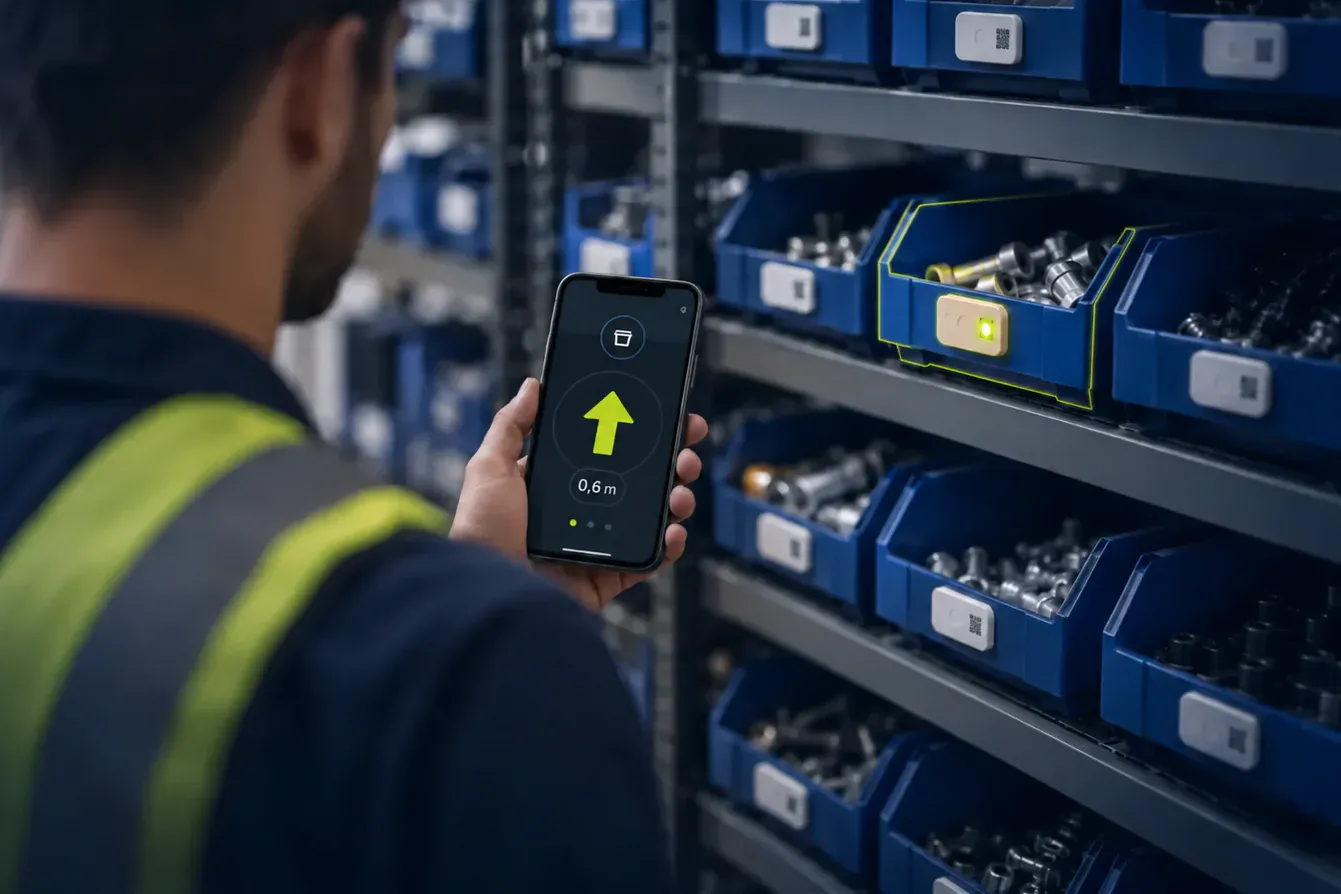
Walk straight to any asset: your phone shows the direction and distance to its tag, to 10 cm, and one tap makes it blink or buzz. Precision Finding is a mode of every Hybrid Tag 4.0, so the same tag also runs on your hybrid RTLS.
Solution
Follow the arrow to the asset.
The app reads the tag over UWB and turns it into an arrow and a distance.
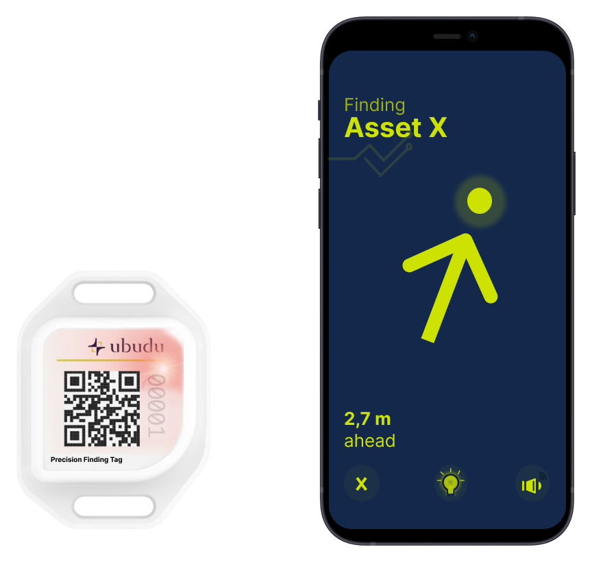
Direction, distance & AR finding on your phone
In AR view, a 3D arrow on the camera image shows where in a rack the asset sits.
Direction and distance to 10 cm
Both refresh as you walk, until you are within 10 cm of the asset.
Tag control: LED & buzzer
One tap in the app makes the tag blink or buzz, over BLE.
With hybrid RTLS
The map finds the zone. The tag does the rest.
Add Ubudu hybrid RTLS and the live map shows which zone an asset is in. Walk there, then switch to Precision Finding for the last metres, on the same tag.
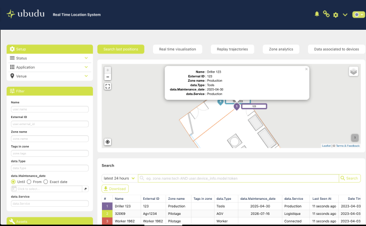
Live location & filtered search in the RTLS App
The Ubudu RTLS App pairs a live floor-plan map with a tag search you filter by the attributes you choose.
Live location on the map
Every tagged asset on the floor plan, with the zone it is in right now.
Search, then light it up
Filter by the attributes you attach to each tag, then light the tag from the app (Pick-to-Light).
Features
Key features
10 cm accuracy
Precise direction & distance to assets.
No wires needed
Tag and phone talk directly over UWB and BLE.
Long lasting
Up to 4 years per charge, recharged over USB-C.
Buzzer activation
Find the tag by sound.
LED activation
Find the tag by light.
Map tracking
Show asset location on a map via RTLS.
Location analytics
Movement history and analysis, via RTLS.
Real-time alerts
On zone entry, exit or movement, sent by webhook.


Industries
Where it fits
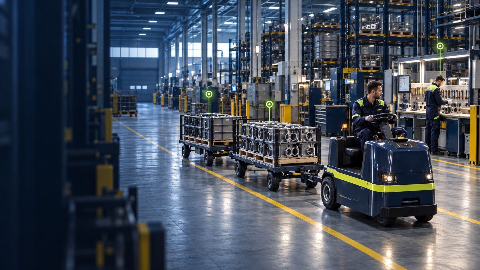
Manufacturing & Logistics
Streamline operational flows and gain visibility across production.

Quick-service restaurants
Stop waiters hunting for customers at their table and keep service seamless.

Healthcare
Help staff find the equipment they need, curb spend on replacements and lift patient satisfaction.

Construction
Get more out of expensive machinery on-site and cut the risk of collisions and hazardous-zone incidents.
What is it and how does it work?
Precision Finding is a mode of every Ubudu Hybrid Tag 4.0. An iPhone app reads the tag over UWB and shows the direction and distance to it, to 10 cm, with an AR view, and one tap makes the tag blink or buzz. With Ubudu hybrid RTLS, the live map first shows which zone to walk to.
How is it different from an AirTag?
It is built for business fleets: there is no limit on the number of tags, and the same tag also runs BLE and UWB positioning on Ubudu hybrid RTLS, so assets are located automatically before you walk to them.
How long does the battery last?
The tag has a rechargeable 850 mAh LiPo battery that lasts up to 4 years, depending on how often you use the LED, the buzzer and UWB finding. It recharges over USB-C.
Which smartphones work?
The finding app runs on any iPhone 11 or newer with iOS 15 or later.