Hybrid RTLS
Ubudu's hybrid real-time location system (RTLS) locates tools, pallets, equipment and people with UWB and BLE on one installation, then acts on what it finds: Pick-to-Light on the tag, alerts, and webhooks into your systems.

- UWB accuracy in industrial and complex sites, under 20 cm in controlled ones
- < 50 cm
- devices produced and deployed across the world
- >1M
- Location Engine cycle: positions recomputed ten times a second
- >100k
- of tag battery life, with UWB woken only on demand
- Up to 5 years
Platform
Hybrid RTLS: locate with UWB and BLE, act on the floor.
UWB gives a precise position where a process needs it, BLE gives zone presence everywhere else. Both radios sit in the same anchors and the same tags.
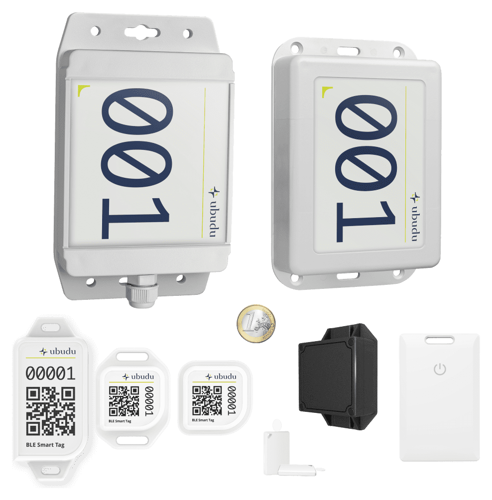
Ubudu RTLS hardware products
Ubudu makes the tags, anchors and gateways. The platform also runs compatible third-party devices: BLE tags and sensors from a large catalogue, and LoRaWAN and GPS trackers from partners.
See the hardwareTags, anchors & gateways
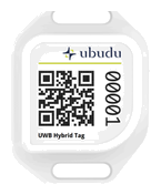
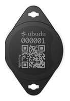
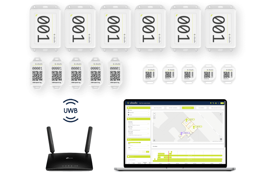
RTLS tags: Hybrid Tag 4.0, three modes in one
Mini, Slim or Round: every model runs BLE, UWB and Precision Finding. Clip it to a tool, a trolley, a pallet or a badge.
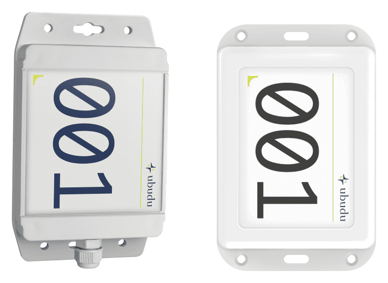
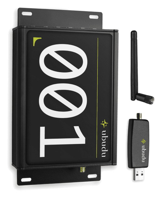
RTLS infrastructure: anchors and gateways
Hybrid UWB and BLE anchors locate the tags and send Pick-to-Light commands back to them over BLE. Network gateways pick up BLE tags across large areas, and BLE AoA anchors cover sites with high ceilings.
Software & technologies
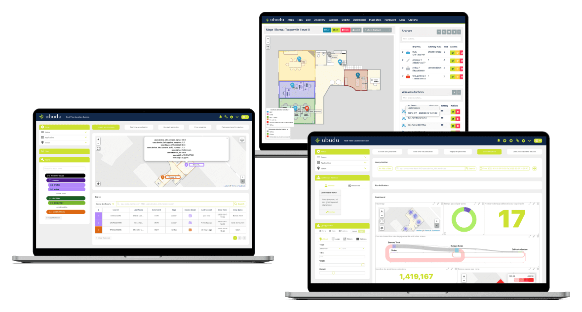
Software Tools for Hybrid RTLS Data Management
The software shows every tag on a live map, raises zone and dwell alerts, keeps the history for the analytics dashboard, and sends positions and alerts to your systems.
Location Engine for Real-Time Hybrid RTLS tracking
Computes one position per tag from UWB and BLE, and manages the infrastructure: upload maps, configure the hardware, supervise the set-up.
RTLS Applications for efficient asset management
Search for an asset, follow it live, receive alerts, replay trajectories, open analytics, and light up its tag with Pick-to-Light.
Map Manager for maps, zones and anchors
Draw and edit your site's maps and zones, and place the anchors and beacons.
BLE Controller for remote device control
Talks to the BLE and UWB devices on site remotely, through the hybrid anchors.


RTLS radio technologies: UWB, BLE, LoRa and GPS
UWB and BLE run on Ubudu's hybrid anchors and tags. LoRaWAN and GPS trackers from partners extend tracking outdoors and over long distances, on the same platform.
Multiple RTLS technical architectures used with the same RTLS Software
Choose UWB TDoA, BLE or BLE AoA zone by zone, to match the accuracy each process needs.
Hybrid positioning, scalable software with automatic orchestration
Positions from several technologies are computed at once, and the platform scales with automatic workload orchestration and supervision alerts.
Key features
Ubudu RTLS key features
Hybrid technologies
UWB and BLE on one installation, managed from one software.
Open integration
REST API, WebSocket, MQTT and webhooks to feed your systems and build your own applications.
Proven at scale
More than 1M devices already being used in more than 6,000 sites deployed in 35+ countries
Designed as one system
Anchors, tags, Location Engine and applications are developed in-house, so they work together from day one.
RTLS on cloud or on premise
On your own servers or in Ubudu's GDPR-compliant European cloud.
Install once, extend later
Add zones, BLE assets or Pick-to-Light later, without re-cabling or a second system.
Out-of-the-box applications
Asset search, geofencing alerts, trajectory replay and an analytics dashboard.
Global partner ecosystem
Local partners in Europe, Asia and the Americas deploy, integrate and maintain Ubudu on site.


Products
Our products
Our RTLS hardware and software, made in-house and designed in Europe.
Hardware
Hybrid Tag 4.0, hybrid anchors, gateways and compatible partner devices.
Software
Location Engine, RTLS applications and open APIs.


Get started with Ubudu
We scope the anchors, tags and software to your site and your assets, then support the roll-out from the first zone.
- Tailor-made
- Scoped with our team
Industries
One RTLS platform, four industries.
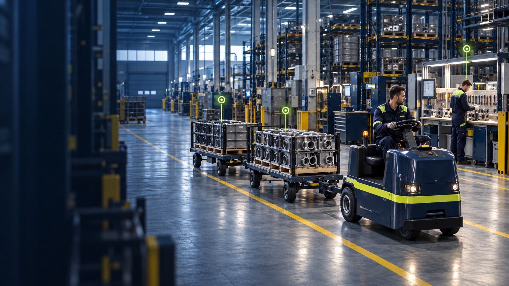
RTLS for Manufacturing & Logistics
See where every work order, tool and pallet is, and spot where the flow gets stuck.

RTLS for Quick Service Restaurants
Staff take each order straight to the right table, without searching.

RTLS for Healthcare
Staff find the equipment they need when they need it, so less goes missing or gets bought again.

RTLS for Construction
Know where every machine is, and warn people before a collision or a hazardous zone.
What kind of assets can be tracked with RTLS?
A real-time location system (RTLS) tracks anything that carries a tag or a phone, including:
- Vehicles: RTLS systems can be used to track the location of cars, trucks, and other vehicles within a facility or across a wide area.
- People: RTLS systems can be used to track the movements of people within a facility, such as employees, visitors, and patients in hospitals.
- Assets: RTLS systems can be used to track the location of valuable assets such as tools, equipment, machinery, and inventory within a facility.
- Products: RTLS systems can be used to track the movement of products within a facility or across a supply chain, from manufacturing to delivery
- Animals: RTLS systems can be used to track the location of animals in farms or research facilities.
- Mobile devices: RTLS systems can be used to track the location of smartphones, tablets, and other mobile devices, which can be useful for managing mobile workforces or tracking inventory.
- Containers: RTLS systems can be used to track the location and movement of containers, such as shipping containers or storage containers.
With Ubudu, each located asset can also trigger an action: an alert, a webhook into your systems, or a light on its tag (Pick-to-Light).
Which environment is suitable for the implementation of a Hybrid RTLS system?
A Hybrid RTLS system can be implemented in any environment where real-time location data is needed to optimise processes, improve safety, and enhance the customer or user experience.
One of the advantages of implementing a Hybrid RTLS system is that different technical architectures proposed by Ubudu can be used to find a suitable solution for all kinds of environments and use cases.
Ubudu combines Ultra-Wideband (UWB) where precision matters, Bluetooth Low Energy (BLE) across the rest of the site, and BLE AoA anchors for high ceilings, all on one platform. LoRaWAN and GPS trackers from partners cover outdoor and long-range needs.
Depending on the environment and use case, Ubudu can recommend a technical architecture that provides the optimal balance of accuracy, range, battery life, and cost-effectiveness.
From tools and machinery in a manufacturing plant to equipment and staff in a hospital, the architecture is chosen for your site and your use case.
How accurate is Ubudu RTLS?
Ubudu's Hybrid RTLS system provides high accuracy in location tracking, thanks to its use of various technologies and sensors.
With Ultra-Wideband (UWB) TDoA (Time Difference of Arrival), a tag's position is accurate to under 50 cm in industrial or complex environments, such as manufacturing plants and warehouses, and to under 20 cm in controlled ones.
To find one item up close, Precision Finding on the Hybrid Tag 4.0 guides you to within about 10 cm through an iOS app.
Bluetooth Low Energy (BLE) gives zone-level accuracy of 2 to 5 m, depending on the environment, and BLE AoA anchors reach 0.5 to 2 m on sites with high ceilings.
Ubudu also uses the tags' accelerometers to refine the positions it calculates.
In practice: UWB where you need the exact rack or workstation, BLE where knowing the zone is enough, with the same tags and platform for both.
How often can the tag position be updated with Hybrid RTLS?
The frequency at which the tag position can be updated with Ubudu Hybrid RTLS depends on the specific technology used and can be configured based on the requirements of the application.
With Ultra-Wideband (UWB), positions can be updated every 100 ms at best, for manufacturing plants or hospitals where every second counts.
With Bluetooth Low Energy (BLE), positions can be updated every second at best, which is enough to know which zone a trolley or a piece of equipment is in.
To save battery, tags report more often when they move and less when they are still.
The update rate is set per site and per use case, balancing how live you need the map against battery life.